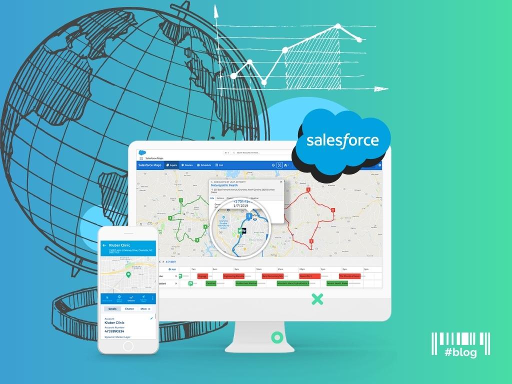
Salesforce Maps Features to Optimize Sales Territory Mapping
In this article, we will talk about how to optimize sales with sales territory mapping software and why it’s important. It seems like there is no need for a tool to map the territories. But we found it very useful and can describe why.
Why does territory design matter?
Firstly, when there is an opportunity to visualize information, it is necessary to take advantage of it. As a result sales managers have more time to sell which is the key priority of each sale.
Secondly, the bigger the company the more sales personnel it has. And it’s a question of the time when a prospect’s flow will knock on the sales door. It’s unlikely to be avoided, but it is possible to reduce the impact through the distribution of workload and sales potential where it can be managed by the right automation tool easily and quickly.
Thirdly, a better understanding of your prospect is one of the key factors in increasing sales. When you know who is your customer, you know which levers to pull first.
Salesforce Maps Definition
Salesforce Maps is a map-based solution to visualize data within Salesforce. It helps to understand how your data is mapped geographically.
Features to optimize sales by geographical criteria
1.Data visualization
Salesforce maps help to transfer data on a map to see and understand it geographically. There is no need to involve imagination. Yes, we probably should do it, but most creative workers have to do it and of course in another way.
How does it work? As a sale, you want to visit all of your opportunities which are needed to be closed this month. You can visualize the locations of your opportunities by stage to prioritize which accounts to visit first, log your calls, enter notes after each visit, and change required fields.
2.Territory Planning
Salesforce maps can be used for sales needs as sales territory planning. Sales managers are assigned with the territory which they can manage. It allows us to distribute equitably and get rid of guesses. It helps to identify how many sales reps are needed in a specific territory and exactly where they have to maximize sales resource capacity.
How does it work? Sales managers see the accounts that they are allowed to sell into. Assign leads to the right sale using geographical criteria. All plans are in a map view which you can share with other sales in PDF files.
3. Optimizing routes
Salesforce maps help to create optimized sales routes based on the defined sales territories. The main sales teams’ problems are connected with schedule gaps, downtowns and data lag. Optimizing routes and schedule features can help to resolve such problems and facilitate sales reps’ work.
How does it work? You have an app which shows you the best way to get from point A to point B avoiding traffic. Site visits can be optimized in a way where sales reps are not only seeing customers but also seeing lots of relevant customers specific to their business needs.
Map Integration in Salesforce
To improve the functionality and optimize routes, Salesforce supports the integration of mapping services. Let’s explore the map solutions businesses have already integrated with Salesforce:
Mapsly
Mapsly is a powerful mapping and location intelligence tool that integrates seamlessly with Salesforce, enabling businesses to visualize and analyze their data geographically.
Key Benefits:
Visione
Visione is a mapping solution that seamlessly integrates with Salesforce, allowing you to visualize accounts, contacts, leads, and custom objects on detailed maps.
Key Benefits:
Bing Maps
Bing Maps is a robust mapping and location-based service that allows businesses to visualize data, optimize routes, and gain geographical insights directly within their CRM.
Key Benefits:
Esri ArcGIS
Esri ArcGIS is a tool that allows your team to view data on a unified map, streamlining workflow and transforming data into actionable insights.
Key Benefits:
Carto
Carto is a geospatial analytics platform that integrates with Salesforce to provide advanced mapping and location intelligence capabilities. Carto helps turn complex information into clear, actionable insights through data visualization on dynamic maps.
Key Benefits:
RealZips
RealZips is a geographic data platform that enhances your sales and marketing efforts by offering robust mapping, routing, and territory management tools.
Key Benefits:
Geopointe
Geopointe integrates location intelligence with your CRM, allowing you to apply geographic insights to streamline sales, operations, and marketing processes.
Key Benefits:
Badger Maps
Badger Maps is a route planning and mapping application that helps visualize territories, discover new leads, and manage the team efficiently.
Key Benefits:
The Field
The Field streamlines route optimization and territory management for sales, fundraising, surveys, and more.
Key Benefits:
Opti-Time Tour
Opti-Time Tour is a route optimization tool for Salesforce that enhances customer engagement through precise cartographic displays and efficient daily planning.
Key Benefits:
Note: MuleSoft enables seamless integration of mapping services with Salesforce, allowing for the smooth exchange of geographic data between systems. This integration helps businesses enhance their CRM with powerful mapping capabilities, improving data accuracy, route planning, and location-based insights.
Google Maps Integration with Salesforce
Are you looking to optimize your sales team’s routes, track field service operations, and use location data for smarter resource management? You might need to integrate Google Maps with Salesforce (Consumer Goods Cloud). Let’s break down the process with this simple, step-by-step guide to seamlessly integrate this powerful tool:
Step 1. Log in to Salesforce: Go to your Salesforce account and open the Developer Console.
Step 2. Create LWC: Click on File > New > Lightning Web Component. Enter a name for your component and click Submit.
Step 3. Open the HTML File: In the Developer Console, find and open your LWC’s HTML file.
Step 4. Insert API Script: Add the following snippet at the top of the file to include the Google Maps API:
Step 5. Save the HTML File: Click File > Save to save your changes.
Step 6. Create JavaScript File: In the Developer Console, create a new JavaScript file for your component’s logic.
Step 7. Add API Initialization Code: Insert the following code to load and initialize the Google Maps API:
Replace YOUR_API_KEY with your Google Maps API key.
Step 8. Save JavaScript File: Click File > Save to save your JavaScript code.
Step 9. Open XML File: Open your LWC’s XML configuration file.
Step 10. Import JavaScript Controller: Add this line to include your JavaScript file:
Step 11. Save XML File: Click File > Save to finalize the integration.
Our presentation about Salesforce Mobile & Maps Integration
Download presentation Salesforce Mobile & Maps Integration (*.pdf)
Which feature will you choose?
Of course, it depends on your goals and tasks to finish. Just ask yourself some questions to better understand the need for a territory design tool:
When the final decision has been made, do not forget about the implementation. The Routine Automation team knows how to deliver Salesforce solutions within best practices and expertise. Find out how we did it in our case studies.